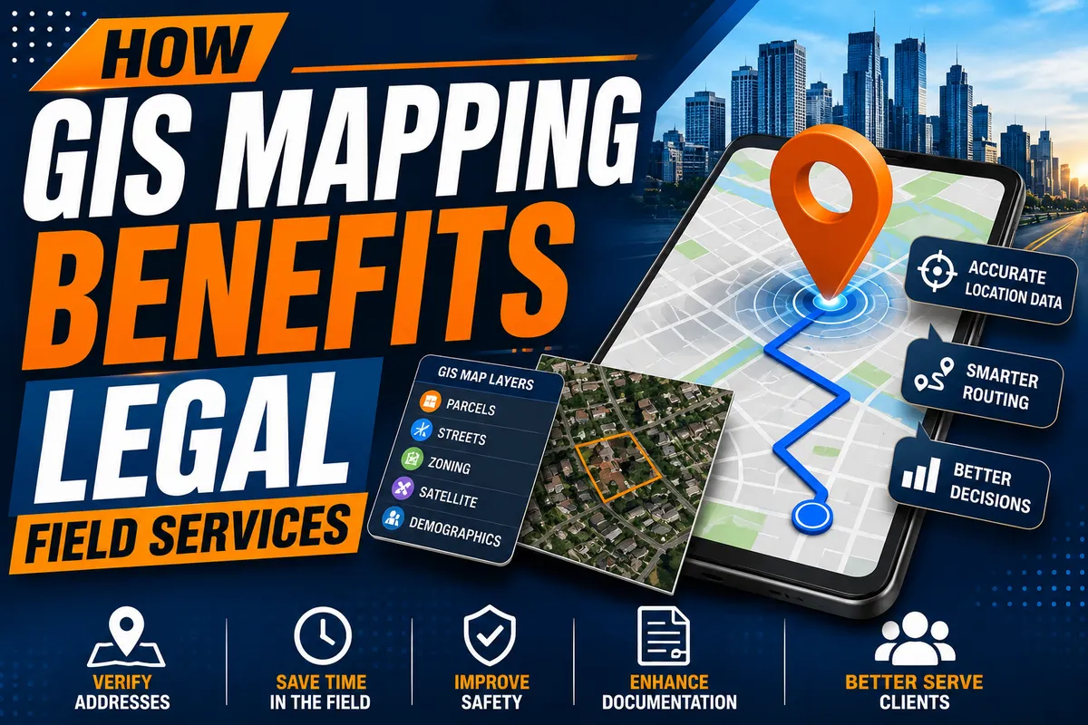
How GIS Mapping Benefits Legal Field Services
Introduction to GIS Mapping in Legal Field Services
Technology continues to transform the legal industry, giving attorneys, process servers, investigators, and legal support professionals access to smarter tools for managing assignments. One of the most valuable innovations is Geographic Information System (GIS) mapping. By combining geographic data with digital mapping technology, GIS mapping legal services help professionals visualize locations, analyze property information, optimize travel routes, and improve decision making before arriving at an assignment.
Unlike standard GPS navigation, GIS technology layers multiple sources of geographic information to provide a more complete understanding of an area. As a result, GIS in legal field services has become an important resource for improving productivity, reducing operational costs, and delivering better service to clients.
What Is GIS Mapping?
A Geographic Information System, commonly known as GIS, is a technology that collects, organizes, analyzes, and displays geographic information. Instead of simply providing directions, GIS creates detailed digital maps that combine multiple layers of data into a single visual platform.
GIS information may include:
Property boundaries
Parcel information
Satellite imagery
Street networks
Zoning information
Government records
Geographic coordinates
Demographic information
This comprehensive view allows legal professionals to better understand the locations where assignments are performed.
The Role of GIS Mapping in Process Serving
One of the most practical applications of GIS mapping process serving is helping process servers prepare before arriving at a service location.
Using process server GIS technology, professionals can:
Verify addresses before service
Identify building entrances
Review property layouts
Locate alternate access points
Optimize travel routes
Reduce unnecessary mileage
Improve scheduling throughout the day
Careful planning often leads to faster service completion and higher success rates.
Improving Legal Field Services Efficiency
Every legal assignment requires accuracy, organization, and time management. GIS technology helps improve legal field services efficiency by providing valuable geographic insight before a process server leaves the office.
Benefits include:
Better assignment planning
Reduced travel time
Lower fuel expenses
Improved scheduling
Faster response times
Increased productivity
These improvements allow legal professionals to complete more assignments while maintaining high service standards.
Better Address Verification
Incorrect addresses remain one of the leading causes of unsuccessful service attempts.
GIS mapping helps verify:
Residential properties
Commercial buildings
Apartment complexes
Rural locations
Newly developed neighborhoods
Property boundaries
When combined with public records, GIS helps process servers identify potential address issues before making an attempt.
Smarter Route Planning
Efficient travel is essential for busy process servers managing multiple assignments each day.
GIS mapping allows professionals to:
Optimize delivery routes
Reduce backtracking
Identify alternate roads
Avoid construction zones
Plan county wide assignments
Schedule multiple serves efficiently
These capabilities help reduce operating expenses while increasing the number of completed assignments.
Supporting Rural and Difficult Locations
Locating remote properties often requires more than a street address.
GIS mapping provides:
Detailed aerial imagery
Property parcel maps
Geographic coordinates
Land ownership information
Access road identification
Terrain information
These tools improve confidence when serving documents in rural or difficult to locate areas.
Supporting Skip Tracing and Investigations
Although GIS is not a replacement for skip tracing databases, it complements investigative work by providing geographic context.
GIS can assist with:
Comparing known addresses
Visualizing neighborhoods
Identifying nearby businesses
Locating access points
Confirming property characteristics
Combining GIS with traditional investigative methods improves preparation before service attempts.
Enhancing Documentation
Accurate documentation is critical for every legal assignment.
GIS mapping helps verify:
Exact service locations
Geographic coordinates
Property boundaries
Travel history
Route information
Combined with photographs and detailed notes, mapping data strengthens affidavits, proofs of service, and client reports.
GIS Technology and Legal Compliance
Maintaining compliance with court rules and jurisdictional requirements is essential. GIS technology legal compliance helps legal professionals better understand service areas and jurisdictional boundaries before making an attempt.
GIS assists with:
Confirming service locations
Understanding county boundaries
Identifying jurisdictional limits
Supporting accurate documentation
Reducing service errors
These capabilities contribute to stronger GIS mapping legal compliance and help process servers avoid costly mistakes.
Improving Safety During Field Assignments
Preparation contributes significantly to personal safety.
Before arriving at a location, GIS mapping allows process servers to review:
Property layouts
Multiple entrances and exits
Dead end roads
Parking areas
Terrain conditions
Nearby public access
Planning ahead helps professionals make informed decisions while working in unfamiliar areas.
GIS Mapping Case Studies
Many legal professionals have successfully adopted GIS technology to improve daily operations.
Examples include:
Process servers optimizing multi county service routes
Law firms organizing service territories for higher efficiency
Investigators analyzing property boundaries during legal disputes
Court runners locating government offices more efficiently
Real estate litigation teams reviewing parcel information before inspections
These GIS mapping case studies demonstrate the practical value of geographic technology across the legal industry.
Technology That Works Alongside GIS
Modern legal process server tools frequently integrate GIS with other digital technologies.
These include:
GPS navigation
Mobile job management software
Electronic affidavits
Digital document storage
Route optimization software
Secure cloud reporting
Real time client notifications
Together, these systems improve workflow and support more efficient legal operations.
Future Trends in GIS Mapping
The future of GIS mapping trends legal services continues to evolve as technology advances.
Emerging developments include:
Artificial intelligence for predictive route planning
Mobile GIS applications
Enhanced satellite imagery
Real time geographic data
Advanced property visualization
Interactive mapping dashboards
Improved cloud based collaboration
These innovations will continue improving process serving with GIS while giving legal professionals access to more accurate and actionable information.
Grow Your Business with Mighty Process Server
Technology is most valuable when combined with professional education and business management. Mighty Process Server (MPS) helps process servers leverage modern technology while growing successful businesses.
Members receive access to:
A nationwide community of experienced process servers
Educational resources covering process serving laws and industry best practices
The Mighty Dashboard for managing assignments, documenting attempts, generating affidavits, and tracking completed jobs
Business development and marketing resources
A nationwide process server directory connecting attorneys, law firms, and clients with qualified process servers
These resources help professionals deliver dependable service while expanding their businesses.
Conclusion
The benefits of GIS in legal industry continue to grow as technology becomes an essential part of modern legal operations. From route optimization and address verification to documentation, jurisdiction analysis, and operational planning, GIS mapping software for legal services provides valuable tools that improve accuracy and efficiency.
As GIS mapping benefits continue to evolve through artificial intelligence, mobile technology, and advanced geographic analysis, legal professionals who embrace GIS mapping tools legal will be better equipped to serve clients, reduce costs, improve productivity, and remain competitive in an increasingly technology driven legal landscape.
Stay sharp. Stay informed. Live Mighty!
Read the full article at www.mightyprocessserver.com
This article is published by Process Server Daily, powered by MightyAutomation.ai, the leader in legal support intelligence.